beforecontenttitle
CATSAM - Caribbean Adjacent Regions Tsunami Sources and Models
After content title
Before content body
Chunks
Chunks
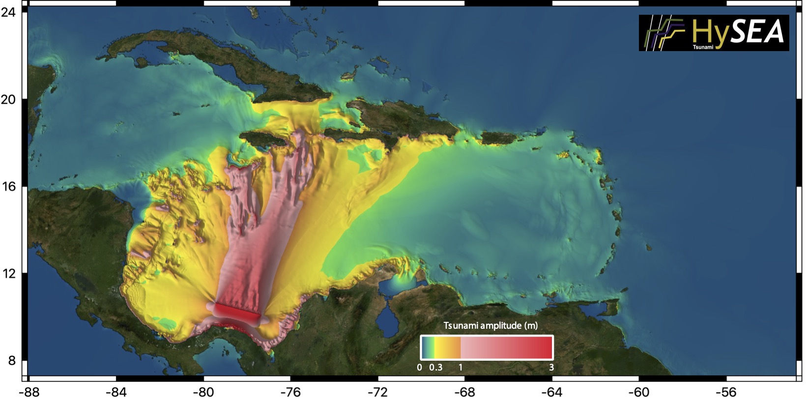
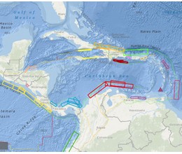 | The Caribbean and Adjacent Regions Tsunami Sources and Models (CATSAM) map viewer was developed by NCEI/WDS and the Universidad Nacional, Costa Rica. CATSAM is intended to be a tool for modelers and hazard assessment professionals, based on the UNESCO/IOC led efforts on defining tsunami potential within the region. It provides the seismic parameters to reproduce the scenarios, as well as how they overlap with the Global Historical Tsunami Database developed and maintained by NCEI/WDS. The EDANYA group contributes to the CATSAM catalog providing simulations of scenarios performed with the Tsunami-HySEA numerical code. |
Link to CATSAM web page
 |
What is CATSAM?
CATSAM is a map viewer developed by NCEI/WDS and the Universidad Nacional, Costa Rica intended to be a tool for modelers and hazard assessment professionals, based on the UNESCO/IOC led efforts on defining tsunami potential within the region. It provides the seismic parameters to reproduce the scenarios, as well as how they overlap with the Global Historical Tsunami Database developed and maintained by NCEI/WDS.
What EDANYA group does in CATSAM?
The EDANYA group contributes to the CATSAM catalog providing simulations of scenarios performed with the Tsunami-HySEA numerical code.
After content body


