HySEA Platform
The HySEA (Hyperbolic Systems and Efficient Algorithms) software is a suite of high-performance geophysical modeling codes. These codes are based on stratified single-layer, two-layer, and multilayer shallow water models. Developed by the EDANYA research group at the University of Malaga, Spain. HySEA codes are designed to simulate a range of geophysical flows, including tsunamis generated by earthquakes or landslides, river floods, sediment transport, turbidity currents and other geophysical flows.
The HySEA Platform is one of the 10 Software-as-a-Service (SaaS) solutions provided by the European project Geo-INQUIRE. This computational platform, identified as virtual access VA4-531-4 (or equivalently Ch-HySEA VA, as part of the ChEESE project’s inherited flagship codes) is developed, maintained, and hosted by the University of Malaga (UMA).
Currently, the Ch-HySEA VA service offers virtual access to three of the HySEA codes:
-
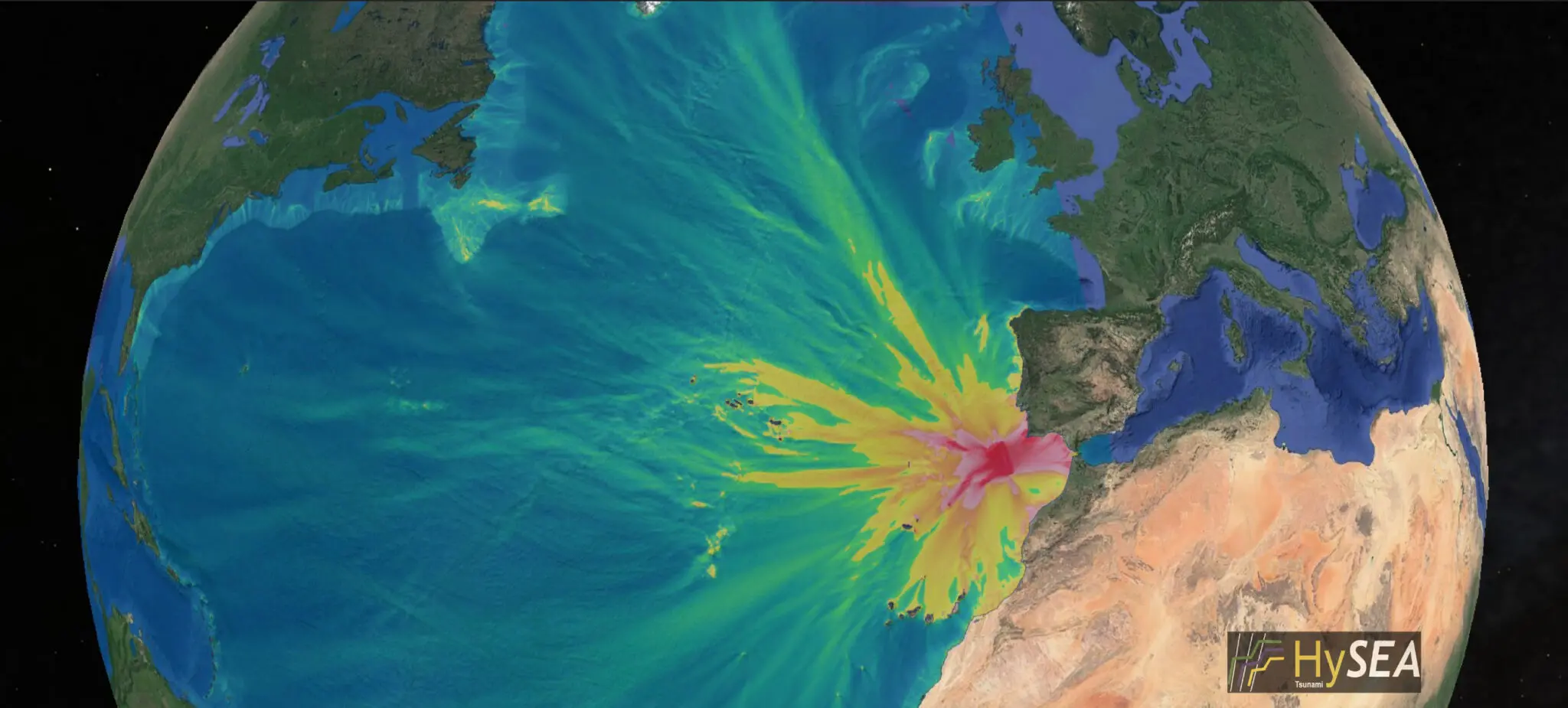
Tsunami-HySEA: For simulating tsunamis generated by earthquakes.
-
Landslide-HySEA: For simulating tsunamis triggered by landslides.
- Multilayer-HySEA: For simulating flows with a multilayer vertical structure, in particular, tsunamis triggered by earthquakes or landslides.
Access to the platform requires prior authorization and is managed through a secure, authenticated login system.
Geo-INQUIRE is funded by the European Commission under project number 101058518 within the HORIZON-INFRA-2021-SERV-01 call.


